THE REAL CORONADO TRAIL: RIGHT THROUGH DUNCAN
Graphics:
- Frederic Remington painting “Coronado Sets Out to the North”
- “Coronado Expedition” map
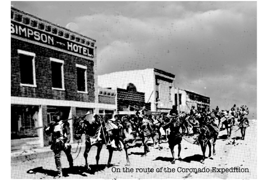
In 1540, when Francisco Vázquez de Coronado passed through what is now Arizona and New Mexico, he and his group made their way north from Apache Pass, near Bowie, AZ, up the west side of the Peloncillo Mountains. Amateur historian Buck Wells, a New Mexico state engineer, has pulled together compelling evidence that the Coronado party then passed thru what is now Duncan and ascended by either Apache Creek or Bitter Creek to the top of the Mule Creek plateau. This is a significantly different route than the one conventionally accepted as the “Coronado Trail.”
If you want to be notified of “A Weekend of Coronado Trail Lore and Recent Discoveries” with Buck Wells, send us an email and we’ll put you on a list for that announcement.
Links:
Buck Wells’ “Coronado Trail” http://coronadotrail1540.com/index.html,
“Help Scholars Find New Coronado Sites” http://www.psi.edu/coronado/helpscholars.html
And, for comparison:
The Official Coronado Trail website
http://www.americansouthwest.net/arizona/coronado_trail/index.html